ACGS India offers a combination of both powerful tools like GIS maps and GIS hosting technologies to give accurate and up-to-date information from environmental resources to market analyses. With our diligent team having real-life experience in all territories of the GIS domain, we offer multiple services for a successful implementation of all your GIS-related projects.
GIS mapping data is by registering a map with the correct real-world coordinates for any research project. GIS mapping data displays actual world features such as elevations, terrain, and transportation networks in digital format. The images which are displayed come from an area where the information was retrieved. You can rely on us to give you accurate information involving geo-referencing/geocoding of your projects proficiently and cost-effectively.
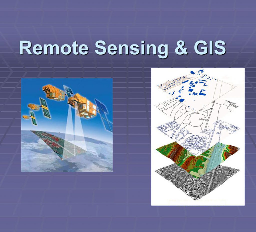
Remote Sensing
Our Remote sensing solutions will help add leading value to the Earth observation process. Our services mainly include satellite image processing, thematic mapping, environmental monitoring, and Spatio-temporal analyses that will assist your organization in leveraging additional benefits.
Take a look at our services:
- Land cover mapping and land-use change monitoring clarification
- Remote sensing of climate changes
- Remote sensing of seasonal changes – making phenology visible
- Remote sensing of public health
- Monitoring of wetlands & threads
- Biodiversity mapping and monitoring