“What we are doing to the forests of the world is but a mirror reflection of what we are doing to ourselves”- Gandhi.
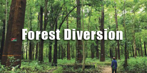
Diversion of forest land is generally recommended by the State/Union Territory Governments for the development of various infrastructure projects or mining, and then get final approval by the Ministry of Environment, Forest and Climate Change (MoEF) under Central Sector and Centrally Sponsored Schemes to help and upgrade the State Forest Department to prevent illegal mining and deforestation activities in forest areas.
Geographical Information System (GIS) is used to create public policies related to forests and environmental conservation. This amazing technology is mainly responsible for decision-making processes for many years now.
ACGS India provides GIS-based solutions that enable many foresters and other specialists to create databases that are essential in the preparation of work plans, wildlife conservation, and soil conservation. We have been assisting government, and corporate institutions in the preparation of forest diversion proposals to create relevant particulars such as maps and land schedules prepared using GIS, GPS, Remote sensing, the Internet of things, and Big Data. This facilitates the precise depiction of information for smooth processing of compensatory afforestation.
Our services involve:
- DGPS coordinates of forest land boundaries
- Verification/rectification of ground demarcations (Monitoring-Reporting-Verification (MRV) systems for forestry
- Control survey and geo-referencing of base maps (lease map)
- Gathering and analyzing location-based data for Pollution sources, recipients, and carriers
- Forest and Wildlife Management System